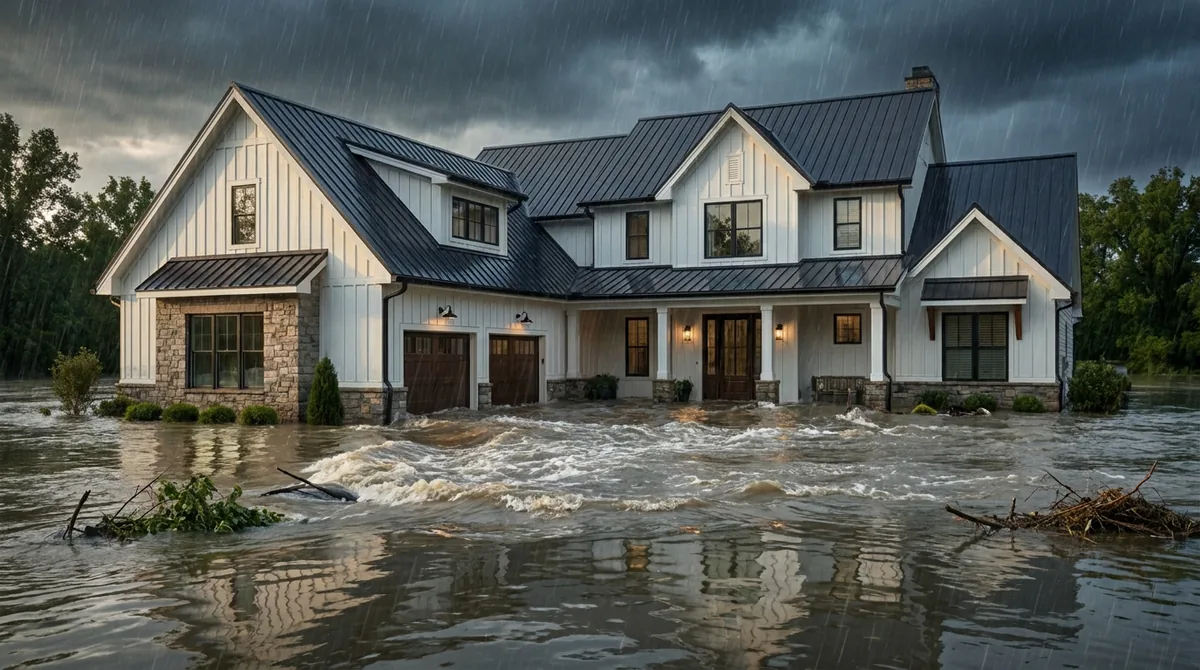
If your Pearland street turns into a shallow river during a spring storm, you've seen the problem this guide is about. The water isn't always coming from a creek. Sometimes it's just rain with nowhere to go.
We're an independent agency in Friendswood, a few miles down Clear Creek, and we write flood coverage for Pearland homes on all three county sides of town. Our Pearland home insurance comparison covers the county split, wind and foundations. This page goes deeper on water, using FEMA's own claims records for the city.
Why Pearland drains slowly
The short answer: Pearland sits on flat, very slowly permeable clay, so heavy rain runs off instead of soaking in, and new pavement adds to what streets, ditches and creeks have to carry.
Start with the ground. The USDA's official description of the Lake Charles soil series, extensive across southeast Texas between the Colorado and Trinity rivers, says permeability is "very slow," especially once the soil is wet and its cracks close. Slopes are mainly less than 1 percent.
In plain English: once the ground is soaked, almost all of the next storm's rain becomes runoff, and the land is too flat to move it quickly.
Then add growth. The Census Bureau counted 91,252 Pearland residents in 2010 and estimates 129,930 as of July 2025. New subdivisions add rooftops and pavement, and the drainage system still has to carry that water across very flat land to Clear Creek and its tributaries.
What FEMA's claims data shows for Pearland
The short answer: FEMA's public records show 1,233 NFIP claims under the City of Pearland's community number, 1,025 of them in 2017, with about 43% of 2017 claims and about 54% of post-2018 claims rated Zone X.
| Period | Claims | Rated Zone X | Events FEMA tagged |
|---|---|---|---|
| Before 2017 | 123 | Not broken out | 50 tagged Tropical Storm Allison (2001), 35 tagged Hurricane Ike (2008) |
| 2017 | 1,025 | 442 (about 43%); 557 rated AE | 1,010 tagged Hurricane Harvey |
| 2018 to mid-2026 | 85 | 46 (about 54%) | 25 tagged Tropical Storm Beta (2020), 21 tagged Hurricane Beryl (2024) |
| All years | 1,233 | 565 rated X or C (about 46%) | Data frozen June 1, 2026 |
Pearland's pattern is different from League City's. Our League City flood claims analysis found about 73% of that city's 2017 claims rated Zone X. In Pearland, the creekside high-risk zones carried more of Harvey's claims. That makes sense for a city laced with creeks and sloughs.
The more recent numbers tell the other half of the story. Since 2018, most Pearland claims came from Zone X, from tropical rain events like Beta and Beryl rather than one historic storm.
Which parts of Pearland carry mapped risk
The short answer: Pearland's mapped high-risk areas follow Clear Creek and its tributaries, mainly Cowart Creek, Mary's Creek, Hickory Slough and Chigger Creek, plus part of Mustang Bayou, all maintained by the drainage district that serves the city.
Brazoria Drainage District No. 4 covers about 83.4 square miles of northern Brazoria County, including Pearland and Brookside Village. The district names its main drainage arteries as Clear Creek, Hickory Slough, Mary's Creek, Cowarts Creek, Chigger Creek and portions of Mustang Bayou.
The City of Pearland's floodplain page lists FEMA map panels from three counties: Brazoria, Harris and Fort Bend. Your zone depends on which county's map covers your lot. On the Harris County side, FEMA released draft maps on February 12, 2026, through the MAAPnext program; drafts can't be used for insurance decisions yet.
The drainage district's current project list shows where the work is focused:
- Hickory Slough: channel widening at the Jenkins detention site between Roy Road and Garden Road.
- Cowart Creek: new ditches and a detention pond near Pearland Regional Airport along CR 130.
- Mary's Creek: the West Lea drainage improvements and Joe Martin Ditch work toward Sleepy Hollow Drive.
- Clear Creek: regional detention basins on Garden Road and Roy Road in Brookside Village.
Those projects help over time. They don't change today's map or your premium this season. Our plain-English guide to flood zones explains what AE and X mean on your declarations page.
Why newer slab homes still flood
The short answer: Local storm sewers are built for ordinary rain, so in intense storms the streets fill and water can sheet across yards into homes, even when the house is new, elevated and nowhere near a mapped creek.
The Harris County Flood Control District explains it plainly. Streets and storm sewers are typically designed for normal rainfall. When their capacity is exceeded, the street itself holds the water. Flooding can also come from ponding or overland sheet flow when intense rain overwhelms local street drainage.
That describes many Pearland claims outside the high-risk zone. The city's own flood insurance page notes that flood insurance covers surface flooding including "local drainage problems." That's the claim a homeowners policy won't pay.
Newer homes do start higher. Brazoria County's floodplain office says the county has required elevations 2 feet above the FEMA elevation in flood hazard areas since May 2005, and it recommends 24 inches above existing grade outside them. Higher slabs lower the odds. They don't make a home flood-proof when a whole neighborhood is draining through one street.
FEMA's records show this pattern. Tropical Storm Beta never reached hurricane strength, yet 25 Pearland claims were tagged to it in 2020. That was rain with nowhere to go, not storm surge.
If you're outside the mapped zone, our guide to coverage outside a high-risk zone walks through the decision.
City limits, the ETJ and unincorporated Brazoria County
The short answer: A Pearland mailing address outside city limits usually falls under Brazoria County's floodplain program and NFIP community number, so the city's CRS Class 6 discount and city permit rules may not apply.
Plenty of homes with a Pearland ZIP code sit in the extraterritorial jurisdiction or unincorporated county. FEMA's data shows how big that group is. In 2017 alone, 239 NFIP claims reporting Pearland ZIP codes 77581 or 77584 were filed under unincorporated Brazoria County's community number, 485458, not the city's.
Three practical differences:
- Permits and elevation: outside city limits, the county's floodplain office sets building elevations and permits.
- The CRS discount: the City of Pearland says its Class 6 rating applies to residents within city limits. We couldn't confirm a current CRS class for unincorporated Brazoria County from FEMA's published materials, so we check the community on your policy before quoting.
- Drainage maintenance: Brazoria Drainage District No. 4 maintains the major ditches and creeks on both sides of the city line.
Some master-planned communities on the west side involve a county line, the city limit or both. That's why we confirm by address instead of by neighborhood name.
What Zone X flood coverage costs in Pearland
The short answer: There's no honest Pearland average, because NFIP premiums are priced house by house, but Zone X coverage is often priced well below high-risk coverage and the city's CRS discount lowers NFIP premiums further.
Online Pearland flood "averages" rarely say what house, zone or coverage limit they describe. We won't add another guess. Under the NFIP's current pricing approach, the premium reflects your building's specific risk, including distance to water, elevation, foundation type and rebuild cost.
CRS Class 6
FEMA's CRS table gives Class 6 a 20% discount, and under FEMA's current pricing it applies to every NFIP policy in the city, Zone X included.
18% a year
FEMA caps most annual increases on existing NFIP policies at 18%, so changes arrive in steps.
Newer slabs help
A home built above grade or base flood elevation can rate better. Keep your elevation certificate.
Rebuild cost
Coverage is sized to rebuild cost, not market value, and the premium follows.
The surest number is the one for your house. Our Texas flood cost breakdown explains the pricing factors, and our flood insurance page lets you start a quote.
NFIP, private flood and the 30-day wait
The short answer: The NFIP covers up to $250,000 for the structure and $100,000 for belongings with a 30-day wait on most new policies, and private flood can add higher limits or different terms, so we price both.
| What to compare | NFIP | Private flood |
|---|---|---|
| Building limit | Up to $250,000 | Often higher, by carrier |
| Contents limit | Up to $100,000 | Varies by carrier |
| Waiting period | Generally 30 days; exceptions for loan closings and new map revisions | Set by the carrier |
| CRS discount | Yes, inside Pearland city limits | No; carrier's own pricing |
| Program status | Authorized by Congress through December 11, 2026 | Not affected by an NFIP lapse |
Two NFIP details matter for a Pearland slab home. Contents are paid at actual cash value, not replacement cost. And standard policies include up to $30,000 of Increased Cost of Compliance coverage if a substantially damaged home must be elevated or brought up to current floodplain rules.
During a lapse, existing NFIP policies keep paying claims, but new policies and renewals pause. That's one reason some Pearland buyers closing near December look at private flood. Our NFIP and private flood comparison covers the tradeoffs.
Flood, wind and sewer backup: three different claims
The short answer: A flood policy pays for rising water, the home or wind policy pays for wind damage, and water pushed up through your drains may need a separate backup endorsement, so one storm can mean several claims.
Pearland's Brazoria County side sits in TWIA's designated territory, so a hurricane can involve a homeowners policy, a separate wind policy and a flood policy at once. Our guide to sorting flood from wind damage explains how adjusters split it.
Drains are the gap people miss. FEMA's FloodSmart site says a flood policy can cover a sewer that backs up during a heavy rainstorm, but not a backup caused by clogged pipes. Our guide to sewer backup and sump pump coverage covers the endorsement that handles the rest.
The bottom line
Pearland's flood risk lives in two places: along its creeks, where the high-risk maps put it, and on its flat streets, where heavy rain collects faster than it drains. FEMA's records show both. Harvey's claims leaned toward the creekside zones, and most claims since then came from Zone X.
So a zone letter answers whether your lender requires flood insurance. It doesn't answer whether water can reach your floor. Check whether you're inside city limits, keep your elevation certificate, and put coverage in place before storm season so the 30-day clock is already behind you.
We price NFIP and private flood for Pearland addresses from our office in Friendswood. Neighbors downstream will find the same creek in our Friendswood flood guide. Call (832) 703-1289.
Last reviewed by the Watson Insurance team on October 2, 2026. FEMA claims figures reflect OpenFEMA data frozen June 1, 2026; NFIP rules and authorization dates are re-verified before every update. Educational only, not personalized insurance advice.