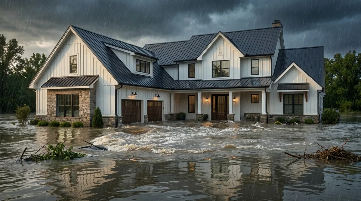
"We're not in a flood zone" is one of the most expensive sentences in Texas real estate. It's usually said sincerely, it's usually based on something a realtor or a neighbor mentioned, and it usually means the speaker is in Zone X — which is a flood zone with a low-risk label, not the absence of one.
This guide is the plain-English version of the map legend: what each designation means, what it requires of you, and — the part that surprises people most — what it no longer tells you about price.
What a flood zone actually is
The short answer: A label on a FEMA map describing the estimated likelihood of flooding at that location. The critical dividing line is whether you're inside the Special Flood Hazard Area.
Flood zones appear on Flood Insurance Rate Maps, and per FEMA's own glossary, the key concept is the Special Flood Hazard Area (SFHA): the area that will be inundated by the flood event having a 1-percent chance of being equaled or exceeded in any given year.
That 1-percent flood is also called the base flood or the 100-year flood — and the second name causes more confusion than any other term in this field.
Everything else follows from which side of that line you're on. Inside the SFHA the letters start with A or V. Outside it, you're in B, C, X or D.
The A zones — high risk, inland
The short answer: All A zones are high-risk. The letters after the A tell you how precisely the risk was measured and what kind of flooding is expected.
| Zone | What it means |
|---|---|
| A | Inundated by the base flood, determined using approximate methods. Because detailed hydraulic analysis wasn't performed, no base flood elevation is shown. |
| AE (formerly A1–A30) | Inundated by the base flood with base flood elevations determined through detailed analysis. The most common high-risk designation you'll see in Texas. |
| AH | Base flood with shallow flooding, typically ponding, average depths of 1 to 3 feet. Base flood elevations determined. |
| AO | Base flood with shallow flooding, typically sheet flow on sloping terrain, depths of 1 to 3 feet. Average depths determined. |
| A99 | Areas to be protected by a federal flood protection system currently under construction. No base flood elevations determined. |
| AR | Areas resulting from decertification of a previously accredited flood protection system that's being restored. |
Why A vs. AE matters to you
The base flood elevation is the water-surface height the base flood is expected to reach. In an AE zone that number exists, so it's possible to say how your lowest floor sits relative to expected floodwater — which drives building requirements and, historically, insurance rating.
In a plain Zone A there is no published BFE, because nobody ran the detailed analysis. That doesn't make it safer. It makes it less measured, and it often means an elevation certificate does more work for you there than anywhere else.
The shallow-flooding zones, AH and AO, are worth knowing about in the Houston area specifically. One to three feet of sheet flow sounds mild until you price out replacing flooring, drywall, cabinetry and HVAC across a whole ground floor. Depth and damage are not proportional — the first few inches do most of the destruction.
The V zones — coastal, and different in kind
The short answer: V zones carry everything an A zone does plus storm-induced wave action. That extra hazard changes construction rules, price, and in Texas it can change your windstorm eligibility too.
Per FEMA, Zones V, VE and V1–V30 are coastal areas subject to the 1-percent-annual-chance flood with additional hazards associated with storm-induced velocity wave action. VE and V1–V30 have base flood elevations determined; plain V does not.
The distinction is physical. In an A zone, water rises. In a V zone, water arrives with force — breaking waves capable of destroying structures that would have survived the same depth of standing water. That's why V-zone construction standards are stricter and why the coverage costs more. Galveston Island is where most of our V-zone conversations happen; see flood insurance in Galveston.
Most of the Houston Bay Area sits in A-series zones rather than V, since true velocity-wave exposure concentrates closer to open water. But along the bay shoreline and on the island, V and VE are very real — and if you're buying there, it belongs in the conversation before you're under contract.
Zone X — the one that fools people
The short answer: Zone X means "not in the high-risk area." It does not mean "won't flood," and it comes in two versions that carry meaningfully different risk.
This is the most consequential misunderstanding in Texas flood insurance, so let's be exact. Per FEMA:
| Zone | What it means |
|---|---|
| X (shaded), formerly B | Moderate hazard. The area between the limits of the base flood and the 0.2-percent-annual-chance (500-year) flood. Also covers some base-floodplain areas with average depths under 1 foot, drainage areas under 1 square mile, or areas protected by levees. |
| X (unshaded), formerly C | Minimal hazard. Areas outside the SFHA and higher than the elevation of the 0.2-percent-annual-chance flood. |
| D | Areas of undetermined but possible hazard. No flood hazard analysis has been conducted. |
Note what "shaded X" actually contains: land protected by levees, and land inside the base floodplain where depths happen to be under a foot. Those aren't dry places. They're places where the risk was classified as moderate for specific technical reasons.
The Friendswood evidence
We don't need a national statistic to make this point, because we live in the counterexample. Hurricane Harvey inundated more than 3,000 homes in Friendswood. A great many of them were not in mandatory-purchase zones. The City of Friendswood's own flood risk page describes riverine flooding from four major creeks plus storm surge exposure from Galveston Bay, with flat terrain that keeps water in place. Next door, League City's claims data tells the same story: most of its Harvey claims came from Zone X, as our League City flood guide shows.
Zone X homes flood in Texas every single year. What Zone X reliably means is that your lender probably won't make you buy coverage — and that the coverage, when you do buy it, is frequently cheaper than people expect.
What your zone actually requires
The short answer: If you're in an SFHA with a federally backed mortgage, flood insurance is mandatory. Everywhere else it's your decision — which is not the same as it being unnecessary.
The mandatory purchase requirement comes from the Flood Disaster Protection Act of 1973: federally regulated or insured lenders must require flood insurance on loans secured by structures located in a Special Flood Hazard Area. Three practical notes:
- It attaches to the loan, not to you. Pay off the mortgage and the legal requirement disappears. The water doesn't.
- Partial inclusion counts. A structure that sits even partially within a mapped SFHA can trigger the requirement.
- Lenders can require more than the law does. Some require coverage outside high-risk zones as a matter of policy.
Outside the SFHA, you're free to decline — and roughly the same physics applies as a few hundred feet away inside it. The line on the map is a regulatory boundary drawn from modeling, not a wall.
What your zone no longer decides: your premium
The short answer: Under FEMA's current pricing approach, flood premiums come from your building's characteristics — not from the zone letter.
This is the biggest change most homeowners haven't caught up with. FEMA's previous methodology set rates using geographic zones and elevation. The current approach rates each property individually: foundation type, first-floor elevation, distance to water, replacement cost value, flood adaptations like flood vents, and the specific types of flood peril the property faces.
Which produces results that feel counterintuitive until you understand why:
- An elevated home inside an AE zone can price better than a slab-on-grade home in shaded X sitting lower and closer to a creek.
- Two neighbors in the same zone can pay very different premiums.
- A Zone X policy can be surprisingly inexpensive — which is precisely why declining coverage because "we're in X" is such a poor trade.
So the zone answers a regulatory question: am I required to buy? It no longer answers the pricing question. Our guide to what flood insurance costs in Texas covers what does.
When the maps change — and they do
The short answer: Flood maps are periodically revised, and a revision can move you into or out of a mandatory-purchase zone without your house changing at all.
Texas has seen a lot of this. In Friendswood, Clear Creek marks the boundary between Harris and Galveston counties, and the two sides have operated under different map vintages — the city adopted 2007 mapping for its Harris County side while the Galveston County portion remained under a 1999 map, and after Harvey the city reverted to the 1999 standards so homeowners could rebuild without mandatory elevation requirements. Harris County has been working through draft updated maps built on newer rainfall data.
What that means for you:
Coverage becomes required
If a revision puts you inside the SFHA and you have a federally backed mortgage, your lender will require flood insurance. Buying before a map change takes effect can preserve better treatment.
Don't cancel reflexively
Being remapped to X removes the requirement, not the risk. Your premium may drop — dropping the policy entirely is a different decision.
Check before you buy
Pending map changes are public, and prior NFIP claims attach to the property. Both are worth knowing before closing, not after.
The steady principle underneath all of it: a map revision changes your paperwork. It does not change how water moves across your yard.
The bottom line
Flood zones are a regulatory map, not a risk verdict. A and AE mean high risk, with AE simply being better measured. AH and AO mean shallow flooding that still destroys a ground floor. V and VE add wave action and, in Texas, can pull your windstorm eligibility into the conversation. Zone X means low or moderate risk — and shaded X in particular contains levee-protected land and shallow parts of the base floodplain.
The two things worth carrying away: your zone determines whether a lender requires coverage, and it no longer determines what that coverage costs. In a town where 3,000 homes flooded in one storm, the second point is the one that saves people money — because Zone X coverage is frequently cheaper than assumed, and declining it on the strength of a map letter is the single most common flood mistake we see.
We're an independent agency in Friendswood and we'll look up your address, tell you your zone, and quote it across NFIP and the private market. If the answer is that you don't need much, we'll say that too.
Last reviewed by the Watson Insurance team on August 24, 2026. FEMA flood maps and zone designations are revised periodically; always verify your current zone by address. Educational only — not personalized insurance advice.