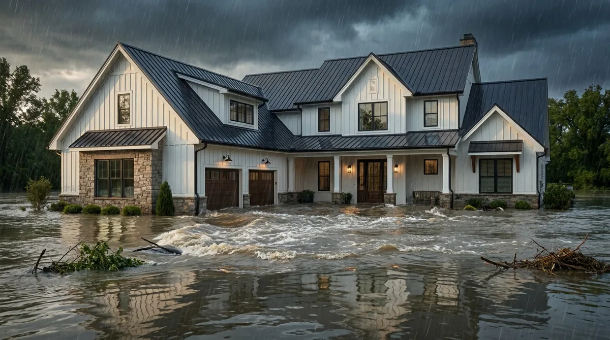
If you own on Galveston Island, you've probably heard both versions of the story. One neighbor says the seawall keeps the island safe. Another still points to the waterline Ike left inside the garage. Both are partly right, and that is exactly why flood coverage here needs more care than a quick yes or no.
The Census Bureau estimates the City of Galveston had 53,636 residents in July 2025. We write flood for island homes from our office in Friendswood. If you're still sorting out the house and wind policies, start with our Galveston County home insurance comparison; this page is about the water.
Why flood on the island isn't a maybe
The short answer: Galveston is a low barrier island between the Gulf and Galveston Bay, so surge can arrive from the beach side or rise from the bay side, and the seawall only protects against one of them.
After the 1900 storm, Galveston built a seawall and raised the city's grade. The Texas Historical Commission notes the original section, finished in 1904, stood 17 feet high and ran 3.3 miles.
Ike tested it in 2008. The National Hurricane Center's Ike report says the seawall spared much of the city from direct Gulf surge and waves, but the city was still inundated when water rose on the north side of the island from Galveston Bay. Surge on the island and the west side of the bay ran 10 to 15 feet.
East of the island, the same report says almost every structure on parts of Bolivar Peninsula, including Crystal Beach and Gilchrist, was razed. The lesson for owners: the threat can come from either shoreline.
What FEMA's claims data says about Galveston
The short answer: In FEMA's public data, about 91% of the City of Galveston's Hurricane Ike flood claims were rated in high-risk A or V zones, the opposite of inland cities where most claims came from moderate-risk areas.
V-zone claims made up about 14% of the total, a reminder that the beachfront isn't the only place surge reaches.
Two more numbers put this in perspective. The same data shows 18,688 claims rated to the city since 1978, and only 820 tagged to Harvey in 2017. Ike was a surge event; Harvey was a rain event that hit the mainland harder.
That's a different story from our League City flood analysis, where most claims came from moderate-risk zones. On the island, the map is usually right about the risk. The question isn't whether to buy flood, but how much and from whom.
V zones and AE zones on the island
The short answer: V and VE zones are coastal high hazard areas where breaking waves of about three feet or more are expected, and FEMA requires homes there to be elevated on pilings or columns with only breakaway walls below.
Most of the island maps into high-risk zones. Areas facing the Gulf tend to carry V or VE designations, while much of the interior and bay side falls in AE. Our guide to what each flood zone letter means covers the basics.
FEMA's Technical Bulletin 9 (August 2008) spells out the V-zone rules:
- Elevation: the bottom of the lowest horizontal structural member of the lowest floor must be at or above base flood elevation.
- Open foundation: the area below must be free of obstruction or enclosed only with breakaway walls, lattice or screening.
- Limited use below: an enclosure may be used only for parking, building access or storage.
In plain English: in a V zone, the house sits on stilts and anything underneath is designed to wash away without taking the house with it.
Elevation certificates and Galveston's 18-inch rule
The short answer: The City of Galveston requires new construction and substantial improvements to sit at least 18 inches above base flood elevation, and an elevation certificate documenting your height can help your NFIP rate.
The city's flood protection page sets a minimum design elevation of 18 inches above base flood elevation. It also explains the substantial damage rule: when repairs or improvements cost 50% or more of the building's market value, the work requires building permits and an elevation certificate, and under NFIP rules the building generally has to be brought into compliance.
The city also reminds residents that anyone in Galveston can buy NFIP flood insurance, regardless of location or past flooding. A prior claim doesn't lock you out.
- Keep your elevation certificate. Under the NFIP's current pricing approach, it isn't always required, but it documents your first-floor height and can support a better rate.
- Know about Increased Cost of Compliance. If a flood leaves an insured building substantially damaged, standard NFIP policies include up to $30,000 toward elevating or otherwise bringing it into compliance.
- Older raised cottages vary. Two houses on the same block can sit feet apart in height. Pricing follows the building, not the street.
Coastal barrier units: where public options can close
The short answer: Parts of Bolivar Peninsula and Galveston Island sit in federal Coastal Barrier Resources System units, where NFIP flood is generally unavailable for newer construction and TWIA can't insure homes permitted after June 10, 2003.
Congress created the Coastal Barrier Resources System in 1982 to stop federal subsidies for building on undeveloped barriers. The U.S. Fish and Wildlife Service explains that NFIP flood insurance is generally prohibited in System Units for structures built after the area's designation. In Otherwise Protected Areas, coverage may be available only for structures used in a manner consistent with the area's protected purpose.
Fish and Wildlife maps show a Bolivar Peninsula unit (T03A) and a Galveston Island unit (TX-05P), both on maps effective August 16, 2023.
Texas follows suit. Under Texas Insurance Code §2210.004(g), a single-family residence in one of these units is insurable by TWIA only if its building permit or plat was filed before June 11, 2003. In plain English: a newer home inside a unit may need private flood and private wind. We check the CBRS Mapper before quoting any Bolivar or West End address.
The wind layer, and TWIA's flood rule
The short answer: TWIA requires NFIP flood coverage for V-zone homes built, altered, remodeled or enlarged on or after September 1, 2009, so on the island your wind and flood policies are linked.
TWIA's coverage rules say a property in a V, VE or V1-30 zone with work on or after September 1, 2009 must show proof of flood insurance when NFIP coverage is available. The Texas Department of Insurance notes the rule doesn't apply to repairs.
Wind and flood also split the damage after a storm. TWIA pays for wind, including wind-driven rain under Texas Insurance Code §2210.208. The flood policy pays for surge and rising water. Neither pays the other's share, which is why our guide to sorting wind from flood after a hurricane matters so much on the island.
For TWIA eligibility, deductibles and private wind options, see our TWIA and WPI-8 explainer.
NFIP or private flood on a Galveston address
The short answer: The NFIP caps building coverage at $250,000 and contents at $100,000, so many island homes pair it with private or excess flood, and we price both on your address.
| What to compare | NFIP | Private flood |
|---|---|---|
| Building limit | Up to $250,000 | Often higher, depending on the carrier |
| Contents | Up to $100,000, paid at actual cash value | Varies; some offer replacement cost |
| Living expenses | Not covered | Some policies include it |
| Barrier units | Generally unavailable for newer homes | May be the only option |
| CRS discount | Applies | No; carrier pricing |
| Program risk | Authorized by Congress in short extensions, currently through December 11, 2026 | Not affected by NFIP lapses |
What drives the price on an island address
We won't publish a Galveston "average" flood premium, because NFIP pricing now follows the individual building. Online figures for the island range widely and rarely say what house they describe. These are the factors that move a real quote:
First-floor elevation
How far your lowest floor sits above base flood elevation. On the island, this usually matters most.
Distance to the Gulf or bay
Beachfront V-zone homes face wave action; bay-side homes face rising water. Both price in.
Foundation and enclosure
Open pilings, a slab or an enclosed ground floor each rate differently.
Rebuild cost
Higher rebuild costs mean more insured value, and island construction on pilings is not cheap.
Size the building limit to the cost to rebuild, not the sale price. If that number is above $250,000, an NFIP policy alone leaves a gap that private or excess flood can fill.
On the CRS discount: FEMA's claims records list Galveston as a Class 6 community on its most recent claims, and FEMA's CRS table gives Class 6 a 20% discount. Under FEMA's current pricing, that discount applies to every NFIP policy in a participating community, inside or outside the high-risk zone. We confirm the current class on every quote.
Island private flood appetite changes often, so we shop it fresh each time. Our NFIP and private flood breakdown and flood pricing guide go deeper.
Maps, waiting periods and when to buy
The short answer: Galveston's current FEMA maps took effect August 15, 2019, new county maps are in the works, and a new NFIP policy generally takes 30 days, so buy before a storm is in the Gulf.
The City of League City notes that FEMA is working on new flood maps for Galveston County. Until they take effect, the 2019 maps apply. If a new map raises your risk, coverage already in place can matter for pricing.
FEMA's main exceptions to the 30-day wait:
- Buying with a loan. Flood coverage required at closing can start at closing.
- After a map change. A home newly mapped high-risk can get a 1-day wait within 13 months of the revision.
Galveston County's own 2026 hurricane preparedness notice reminds residents that most flood policies take 30 days to start. Our storm-season checklist covers the rest.
The bottom line
On Galveston Island, flood insurance is less about whether and more about how. FEMA's own data shows that Ike's claims came overwhelmingly from homes the maps already flagged as high risk.
Get the elevation certificate, check whether the address falls in a coastal barrier unit, size coverage to your rebuild cost, and make sure the flood and wind policies fit together. If you also own on the mainland, our flood insurance in Friendswood shows how different inland risk looks.
We write NFIP and private flood from our office in Friendswood. Start on our flood insurance page or call (832) 703-1289.
Last reviewed by the Watson Insurance team on October 2, 2026. FEMA claims figures reflect OpenFEMA data as of June 2026; NFIP rules, CBRS maps and the program's authorization date are re-verified before every update. Educational only, not personalized insurance advice.